
Gummer's How - Lake District Walk
Monday 27th March 2006
Arriving at lunchtime we sat in the car park hoping that the rain would stop and the mist might lift. After a short while the rain stopped and we could see Windermere below us, decision made off we set. The short break in the weather came to an end as we reached the top of Gummer's How meaning we only saw the trig point from a very short distance below it. As we left the summit of Birch Fell, no view again, the heavens opened. One thing was certain though, as I'd suspected on my last two walks, my boots had gone, so a trip to Ambleside followed to purchase much needed new boots and rucksack.
Start: Astley's Plantation car park (SD 3894 8762)
Route: Astley's Plantation - Gummer's How (72) - Birch Fell (73) - Astley's Plantation
Distance: 2.5 miles Ascent: 180 metres Time Taken: 1 hr 50 mins
Weather: Heavy rain and low cloud.
Pub Visited: Sportsman Inn (Ambleside) Ale Drunk: Thwaites Thoroughbred

Windermere is down there somewhere.

Gummer's How summit, the first Birkett of the holiday taking my total to 72. If the path to it hadn't been so good
we might have never found it as we only saw it when we were virtually on top of it.

The view from Gummer's How. The mist/cloud was so thick that getting to the next summit was only achieved
with frequent GPS readings and use of map and compass, along with the
fact
the description in my book was still accurate.

After clambering through many fallen trees Birch Fell's summit was finally reached.

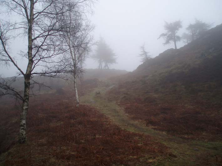
We walked around Gummer's How to return to the car park, the path to Gummer's How can be seen in front of us.
Our route down the hill from the path to Gummer's How, probably the best view of the day.
All pictures copyright © Peak Walker 2006-2023